Etna eruption 2008-2009
On May 13, 2008, Etna entered a phase of intense eruptive activity. A fracture opened at an altitude of 2800 m on the eastern side of the northeast crater. During this Strombolian volcanic activity, lava flows were emitted into the Valle del Bove.
Precursory phenomena. Before the opening of the fracture, there was a significant increase in seismic activity in the Valle del Leone area near the crater. Around 230 shallow earthquakes were recorded, with the strongest registering a magnitude of 3.9. The towns of Milo, Randazzo, and S. Alfio experienced the most intense tremors.
Activation of Cfc-rv and alert procedures. During the early stages of the volcanic eruptions, ash columns formed and fell on towns northeast of the volcano, reaching as far as the city of Milazzo. The Central Functional Centre for Volcanic Risk (Cfc-rv) quickly contacted monitoring centers to evaluate the ongoing events. At the same time, alert procedures were activated.
Acquisition of radar satellite images of the Cosmo-SkyMed constellation. On May 14, 2008, dense cloud cover prevented surveillance cameras and traditional optical satellite sensors (AVHRR, MSG, and MODIS) from identifying the position of the eruptive fracture. The procedures for near-real-time acquisition of high-resolution radar satellite images from the Cosmo-SkyMed constellation, developed as part of projects with the Italian Space Agency (ASI), were then activated. The comparison with an image of the same area taken a few months before allowed the precise identification of the eruptive fracture position and the side affected by the subsequent effusive activity.
Procedures for the definition of hazard scenarios. Afterward, procedures were tested to define risk scenarios caused by the movement of lava flows using the simulation model MAGFLOW. This model was developed as part of planned projects between the Civil Protection Department and the National Institute of Geophysics and Volcanology-Ingv for 2007-2009.
In July 2009, the eruptive activity at the base of the southeast crater ended, shifting the focus back to the summit crater vents.
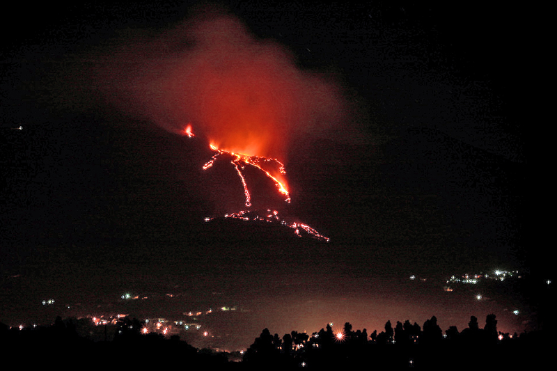
Photo: Etna eruption, 20 June 2008 / Michele Amante, CC BY-NC-ND 2.0, via flickr.com